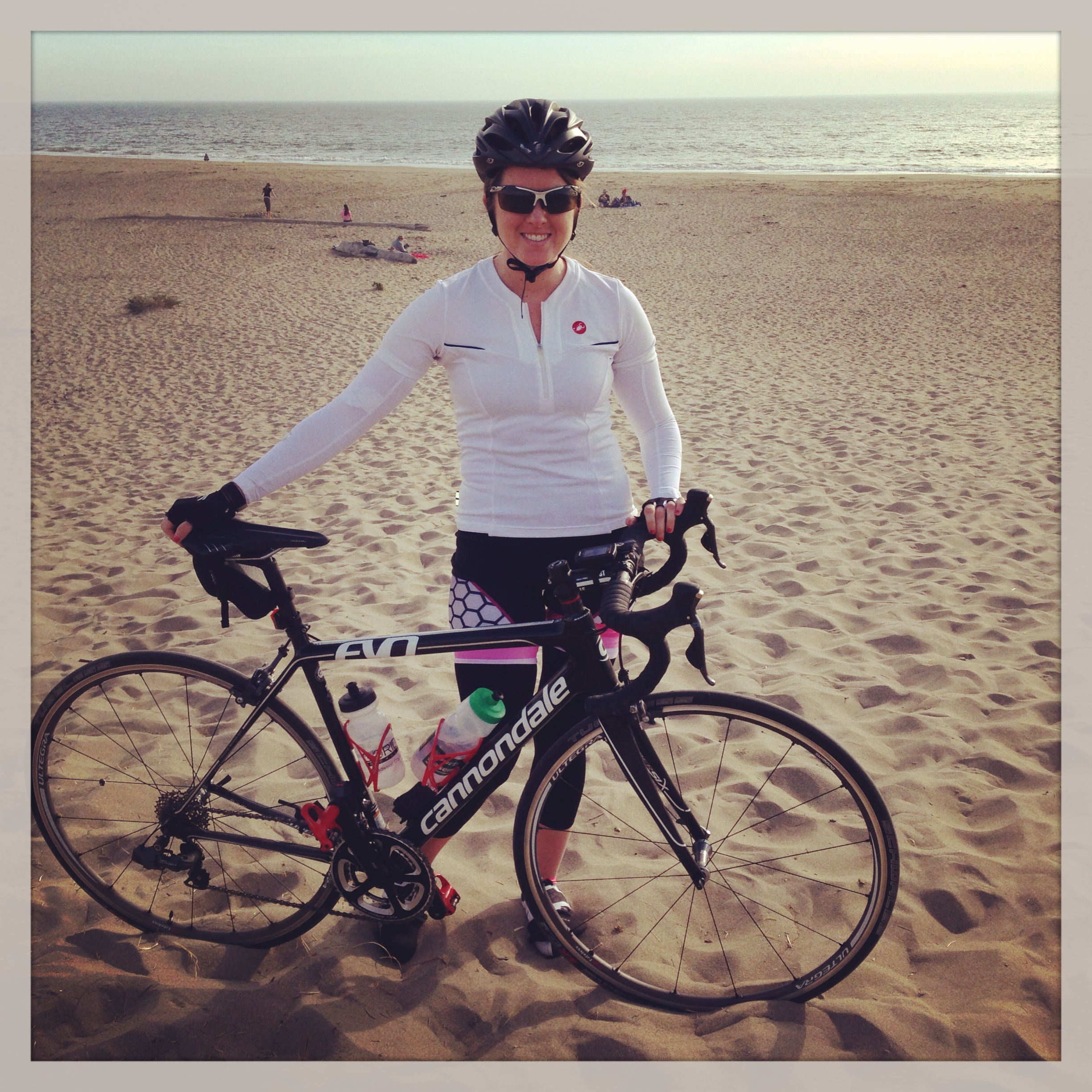
I love stumbling upon new cycling routes. Through a little Strava research I found this route to Limantour Beach (anyone know how to pronounce it?) and it looks like only 1 of my friends has ever done it before! OK people, time to get those climbing legs and cameras ready, because this is an epic adventure that should be on your to-ride list.
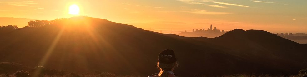
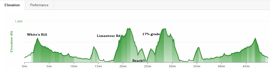
Typically when I take Sir Francis Drake I’ll do a loop through Pt Reyes/Petaluma. Never have I kept going until I hit the beach! Wow. Gorgeous views, extreme hills (think 17% grades), and the Pacific Ocean to look forward to.
Distance: 49.5 miles
Elevation Gain: 5,176 feet (that’s a lot)
Start & End Point: I started the ride at the old Good Earth grocery store parking lot in Fairfax. I like starting here because there’s free parking and you start on the pleasant side of Sir Francis Drake which has a bike lane. But you can definitely start closer to Sausalito for a longer ride (would be 80 miles roundtrip from Mike’s Bikes) or make it shorter by starting in Nicasio. But 50 miles from Fairfax was a good challenge.
Route Directions: Google map here. Start on Sir Francis Drake Blvd and go West. Stay on that road for 15.1 miles. Turn right on Highway 1 (only on this road for a couple seconds). Then turn left on Bear Valley Road. Take that for 1.8 miles. Turn left on Limantour Rd and get ready to climb! In 7.5 miles you will hit the parking lot! Once at the parking lot you can walk your bike down to the beach via a trail path. Then turn around and go the same way you came. You could also do a loop around the Nicasio Reservoir and then hop on Bear Valley from there if you’d like.
Tips and Tricks
- There is only 1 place to get water and food (the Lagunitas Grocery Store) so make sure to bring all of the food and nutrition you need. And bring more than you think you need. This is a very hilly route!
- Parts of Sir Francis Drake are covered with trees and it gets pretty cold through there. Make sure to wear one extra layer that you can strip off later.
- For some reason Limantour Road was wet and there were “Icy” signs all over the place. So just keep that in mind and go slow on the descents.
- Google Maps biking directions recommends taking some weird bike path. Ignore that. Stay on the road.
- There are bathrooms at Limantour Beach
Let me know if you end up doing it! I’d be up for trying it again at some point, too. Maybe we can have a Clif Shot picnic on the beach!


Great article. I’m experiencing a few of these issues as well..